Storms, severe weather and cyclones
The Lismore region regularly experiences severe weather, particularly during the warmer months. Thunderstorms can develop quickly, bringing intense rainfall, strong winds, lightning, hail and flash flooding.
Know your weather
A thunderstorm is any cloud system that produces thunder and lightning. The duration of a typical thunderstorm is about 30 minutes to an hour. Severe thunderstorms can last many hours and travel long distances.
East coast lows are intense low-pressure systems that often produce severe weather. East coast lows frequently intensify quickly over 12-24 hours. This makes them among the most dangerous weather systems to affect the Eastern coast.
Tropical cyclones are low-pressure systems that form over warm tropical waters. They are violent, spiralling wind and rain systems that can threaten lives and property both at sea and on land. While they rarely make landfall this far south, the Lismore region can still experience their impacts – including heavy rainfall, strong winds, flash flooding and coastal weather systems that extend well beyond the cyclone’s core. Recent events include ex-Tropical Cyclone Debbie in 2017 and ex-Tropical Cyclone Alfred in 2025.
A tornado is a violently rotating column of air that extends from a cloud to touch the ground. To be classified as a tornado, the rotating column must be in contact with the ground and the parent cloud at the same time. Although tornadoes are rare in the Lismore region, they can occur during severe thunderstorms or from the remnants of tropical systems. On 26 October 2007, an EF2 tornado impacted Dunoon and surrounding areas, remaining on the ground for approximately 25 minutes and travelling about two kilometres. See the video here.
Learn more about severe weather, including thunderstorms, tornadoes, and east coast lows, through the Bureau of Meteorology’s severe weather knowledge centre.
Reduce your storm risk
Whether you live in your own home or you're a tenant, it's essential to prepare your property before every storm season. Taking simple steps now can help minimise potential damage and keep you, your family and your belongings safe during severe weather.
Case study: 2007 supercell thunderstorm
On 8 October 2007, a supercell thunderstorm struck Lismore, bringing hailstones the size of tennis balls and strong winds that caused chaos across the central business district. The following day, South Lismore was hit again by hail 6cm in diameter and winds estimated at 100km/hour. Approximately 20mm of rain fell in just 10 minutes.
Seventeen people were injured by hail or flying glass from smashed windows. Hundreds of homes, vehicles, small businesses, and public buildings – including City Hall, the police station, ambulance station, and hospital – sustained significant damage. Trees were uprooted by flash flooding, and widespread power outages occurred across the region.
The NSW SES received approximately 300 calls for assistance, and the Insurance Council of Australia estimated the damage at $97 million.
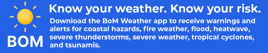
Download for iOS I Download for Android
View warnings and alerts online at the Bureau of Meteorology website.